


How to get from Mantatti Railroad Station (Telangana) to Solapur (Maharashtra)
Calculate route from Mantatti Railroad Station (Telangana, India) to Solapur (Maharashtra, India).
The flight distance (as the crow flies) between Mantatti Railroad Station and Solapur is 176.6 km.
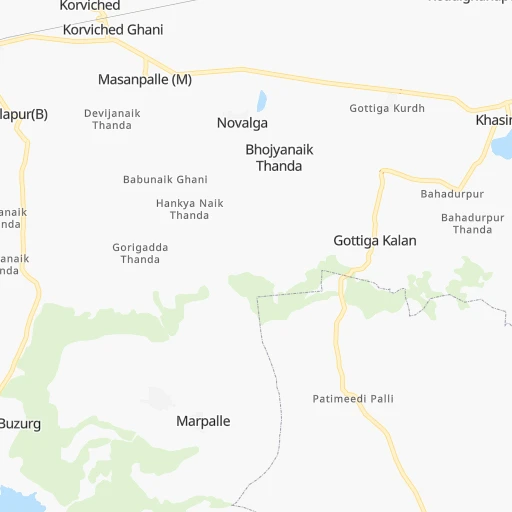
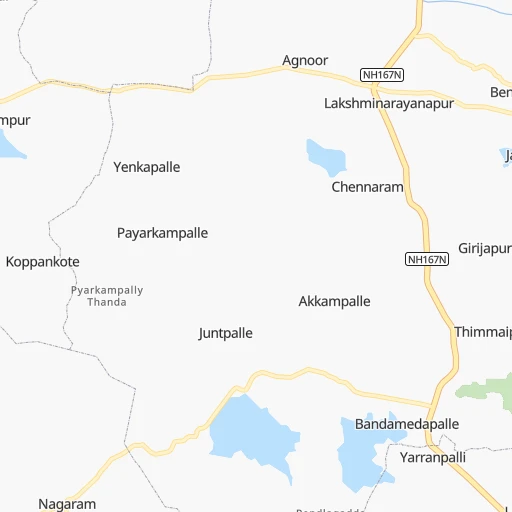
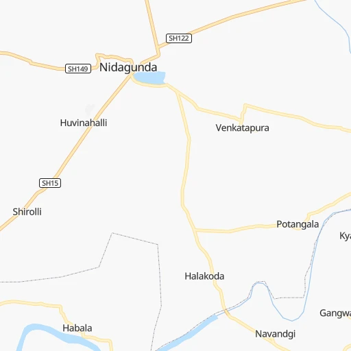
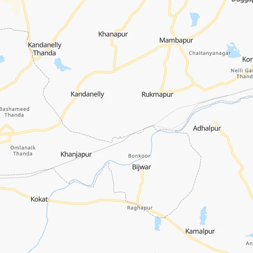
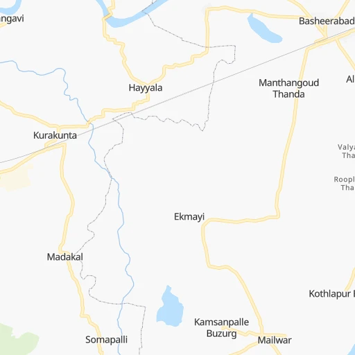
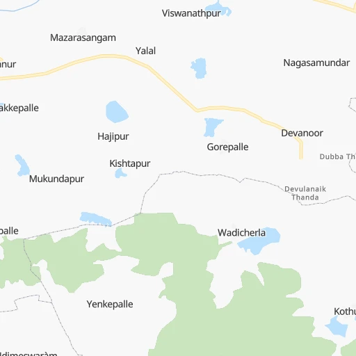
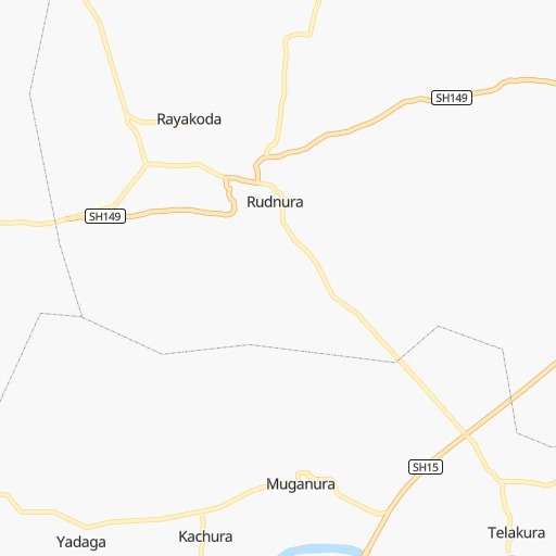
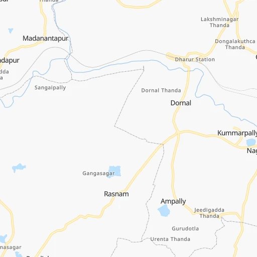
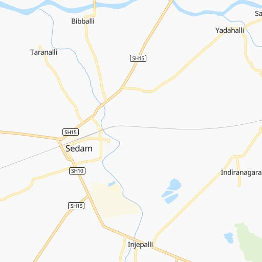
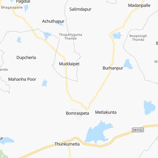
Roadmap (route) to go from Mantatti Railroad Station to Solapur detailed above, you can also see the course layout on the map.
While doing trip Mantatti Railroad Station - Solapur by car, the calculated route ends at a distance , or more straight.
Distance and duration of the route between Mantatti Railroad Station and Solapur
Calculation of distance and route from Solapur to Mantatti Railroad Station :
176.6206.5 km3h21mn
Continue 0h5mn 2.5 kmTurn right 0h13mn 10.5 kmTurn right 0h1mn 442 mKeep left 0h1mn 615 mTurn left 0h3mn 2.8 kmTurn left 0h4mn 3.2 kmTurn left 0h4mn 3.2 kmTurn sharp right 0h5mn 3.8 kmTurn slight left 0h6mn 5.1 kmTurn left onto SH15 0h3mn 3.0 kmKeep right onto SH15 1h44mn 48.4 kmTurn left onto Sedam Road 0h2mn 2.1 kmTurn sharp right 0h0mn 116 mTurn left 0h0mn 348 mAt roundabout, take exit 3 onto Jagat Circle 0h1mn 938 mAt roundabout, take exit 1 onto Alanda Road 0h1mn 1.0 kmAt roundabout, take exit 2 onto Alanda Road 0h2mn 2.0 kmTurn left onto Ring Road 0h0mn 10 mKeep left onto Alanda Road 0h23mn 25.7 kmTurn sharp left onto SH162 0h12mn 13.0 kmTurn sharp left 0h0mn 241 mTurn slight left 0h1mn 256 mTurn slight right 0h0mn 206 mTurn left 0h1mn 616 mTurn left onto SH34 0h0mn 233 mTurn right onto SH162 0h2mn 2.1 kmTurn left onto SH162 0h12mn 13.2 kmTurn slight right onto SH124 0h0mn 208 mTurn left onto SH124 0h2mn 2.0 kmContinue 0h8mn 6.7 kmTurn slight left 0h2mn 1.7 kmTurn right 0h1mn 599 mTurn slight left onto Gulbarga - Solapur Highway 0h22mn 25.1 kmContinue onto Siddheshwar Temple Road 0h19mn 22.6 kmContinue onto Jodabasavanna Chowk Road 0h1mn 1.3 kmTurn left 0h0mn 120 mKeep right 0h0mn 226 mArrive at destination 0h0mn 0 m
Travel from Mantatti Railroad Station (Maharashtra) to a selection of major cities.
Distances from Mantatti Railroad Station to biggest cities in Telangana
- Nirmal,80,982 inhabitants.226 km
- Kottagudem,79,247 inhabitants.332 km
- Mancheral,77,998 inhabitants.273 km
- Paloncha,75,224 inhabitants.342 km
- Bodhan,73,938 inhabitants.165 km
- Sirsilla,71,499 inhabitants.189 km
- Kamareddi,71,042 inhabitants.150 km
- Palwancha,68,561 inhabitants.339 km
- Bellampalli,66,660 inhabitants.292 km
- Mandamarri,66,176 inhabitants.284 km
- Siddipet,64,562 inhabitants.172 km
- Tandur,63,239 inhabitants.8 km
- Koratla,60,231 inhabitants.218 km
- Sangareddi,59,199 inhabitants.76 km
- Kodar,59,170 inhabitants.263 km
- Gadwal,55,952 inhabitants.115 km
- Wanparti,55,182 inhabitants.113 km
- Gaddi Annaram,53,622 inhabitants.109 km
- Bhongir,50,094 inhabitants.150 km
- Jangaon,47,558 inhabitants.183 km
Other major cities in country :
- Gorakhpur [10], 1,324,570 inhabitants. 1,373 km
- Nashik [16], 1,289,497 inhabitants. 499 km
- Pimpri [16], 1,284,606 inhabitants. 422 km
- Kalyan [16], 1,262,255 inhabitants. 514 km
- Thane [16], 1,261,517 inhabitants. 528 km
- Meerut [36], 1,223,184 inhabitants. 1,308 km
- Nowrangapur [21], 1,220,946 inhabitants. 578 km
- Faridabad [10], 1,220,229 inhabitants. 1,245 km
- Ghaziabad [36], 1,199,191 inhabitants. 1,273 km
- Dombivli [16], 1,193,000 inhabitants. 518 km
- Rajkot [09], 1,177,362 inhabitants. 901 km
- Varanasi [36], 1,164,404 inhabitants. 1,066 km
- Amritsar [23], 1,092,450 inhabitants. 1,624 km
- Allahabad [36], 1,073,438 inhabitants. 1,019 km
- Visakhapatnam [02], 1,063,178 inhabitants. 607 km
- Teni [25], 1,034,724 inhabitants. 803 km
- Jabalpur [35], 1,030,168 inhabitants. 709 km
- Haora [28], 1,027,672 inhabitants. 1,278 km
- Aurangabad [16], 1,016,441 inhabitants. 373 km
- Shivaji Nagar [16], 1,000,000 inhabitants. 414 km
Route from Solapur to major cities (India).
- Distance Solapur Delhi1,230 km
- Distance Solapur Bengaluru553 km
- Distance Solapur Kolkata1,410 km
- Distance Solapur Chennai693 km
- Distance Solapur Ahmedabad690 km
- Distance Solapur Hyderabad272 km
- Distance Solapur Surat508 km
- Distance Solapur Kanpur1,080 km
- Distance Solapur Jaipur1,030 km
- Distance Solapur Lucknow1,143 km
- Distance Solapur Indore562 km
- Distance Solapur Patna1,299 km
- Distance Solapur Bhopal641 km
- Distance Solapur Ludhiana1,474 km
- Distance Solapur Tirunelveli1,014 km
- Distance Solapur Agra1,081 km
- Distance Solapur Vadodara588 km
- Distance Solapur Gorakhpur1,311 km
- Distance Solapur Meerut1,272 km
- Distance Solapur Nowrangapur722 km
Nearest cities to Mantatti Railroad Station :
- Hyderabad, 3,597,816 inhabitants. 102 km
- Aurangabad, 1,016,441 inhabitants. 373 km
- Solapur, 997,281 inhabitants. 177 km
- Hubli, 840,214 inhabitants. 329 km
- Sangli, 601,214 inhabitants. 316 km
- Warangal, 557,802 inhabitants. 236 km
- Nanded, 550,564 inhabitants. 216 km
- Guntur, 530,577 inhabitants. 331 km
- Gulbarga, 483,615 inhabitants. 72 km
- Kurnool, 460,184 inhabitants. 166 km
- Ramgundam, 452,261 inhabitants. 270 km
- Davangere, 435,128 inhabitants. 351 km
- Nellore, 404,158 inhabitants. 407 km
- Ahmadnagar, 367,140 inhabitants. 359 km
- Latur, 348,967 inhabitants. 164 km
- Kukatpalli, 341,709 inhabitants. 100 km
- Bellary, 336,681 inhabitants. 240 km
- Chanda, 328,351 inhabitants. 357 km
- Nizamabad, 305,438 inhabitants. 172 km
- Parbhani, 289,629 inhabitants. 240 km
- Bijapur, 271,064 inhabitants. 196 km
- Jalna, 262,034 inhabitants. 338 km
- Lal Bahadur Nagar, 261,987 inhabitants. 112 km
- Anantapur, 240,442 inhabitants. 284 km
- Ramagundam, 235,000 inhabitants. 269 km
- Karimnagar, 228,745 inhabitants. 218 km
- Raichur, 225,962 inhabitants. 115 km
- Quthbullapur, 225,816 inhabitants. 105 km
- Secunderabad, 204,182 inhabitants. 114 km
- Bidar, 204,071 inhabitants. 76 km
- Hospet, 197,846 inhabitants. 249 km
- Proddatur, 177,797 inhabitants. 297 km
- Ongole, 172,872 inhabitants. 332 km
- Gadag-Betageri, 172,813 inhabitants. 286 km
- Khammam, 170,503 inhabitants. 280 km
- Nandyal, 165,337 inhabitants. 221 km
- Adoni, 163,631 inhabitants. 180 km
- Gadag, 162,569 inhabitants. 284 km
- Serilingampalle, 150,525 inhabitants. 89 km
- Malkajgiri, 150,000 inhabitants. 111 km
- Mahbubnagar, 136,135 inhabitants. 74 km
- Cuddapah, 127,010 inhabitants. 337 km
- Nalgonda, 121,826 inhabitants. 188 km
- Guntakal Junction, 120,964 inhabitants. 229 km
- Adilabad, 118,526 inhabitants. 293 km
- Uppal Kalan, 118,259 inhabitants. 113 km
- Dharmavaram, 114,050 inhabitants. 314 km
- Suriapet, 111,729 inhabitants. 225 km
- Barsi, 110,983 inhabitants. 223 km
- Gangawati, 106,250 inhabitants. 226 km
Location Mantatti Railroad Station (Telangana) :
| Country flag |  |
| Location | Mantatti Railroad Station |
| State | Telangana |
| County | Rangareddi |
| Country | India |
| Country code / ISO 2 | IN |
| Latitude | 17.2274800 |
| Longitude | 77.5096800 |
| Altitude | 0 meters |
| Time zone | Asia/Kolkata |
Location Solapur (Maharashtra) :
| Country flag | |
| Location | Solapur |
| State | Maharashtra |
| County | Solapur |
| Country | India |
| Country code / ISO 2 | IN |
| Latitude | 17.6715200 |
| Longitude | 75.9104400 |
| Altitude | 0 meters |
| Time zone | Asia/Kolkata |


