
How to get from Chatsglen (KwaZulu-Natal) to Piet Retief (Mpumalanga)
Calculate route from Chatsglen (KwaZulu-Natal, South Africa) to Piet Retief (Mpumalanga, South Africa).
The flight distance (as the crow flies) between Chatsglen and Piet Retief is 321.5 km.
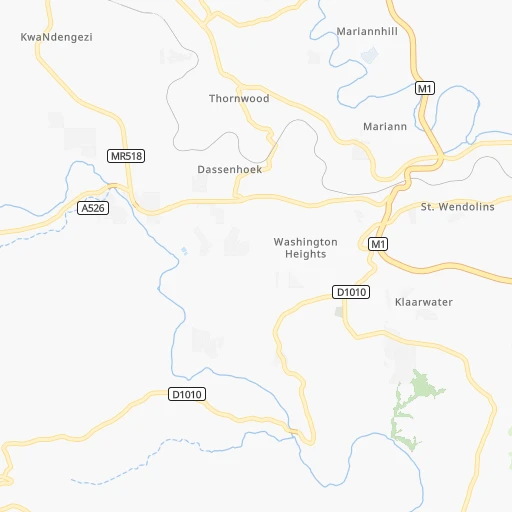
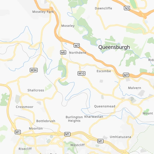
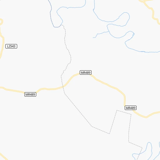
Roadmap (route) to go from Chatsglen to Piet Retief detailed above, you can also see the course layout on the map.
While doing trip Chatsglen - Piet Retief by car, the calculated route ends at a distance , or more straight.
Distance and duration of the route between Chatsglen and Piet Retief
Calculation of distance and route from Piet Retief to Chatsglen :
321.5427.2 km5h4mn
Continue 0h0mn 76 mTurn slight left onto Shallcross Road 0h0mn 409 mKeep left 0h1mn 1.5 kmKeep left and take M1, M22 toward Woodhurst, Westcliff 0h0mn 371 mTurn left onto Astral Drive 0h3mn 2.6 kmTurn sharp left onto Vera Road 0h0mn 134 mTurn right onto Rockstead Road 0h1mn 436 mTurn left onto Stella Road 0h0mn 222 mTurn right onto Ridley Park Road 0h1mn 1.0 kmTurn right onto Main Road 0h1mn 617 mTurn left onto Bellville Road 0h0mn 52 mContinue onto Bellville Road 0h0mn 102 mTurn right 0h2mn 2.4 kmKeep left and take N2 toward Stanger 1h4mn 113.9 kmKeep left and take R66 toward Gingindlovu, Eshowe, Ulundi 0h1mn 826 mTurn left onto R66 2h10mn 199.4 kmTurn right onto R69 0h4mn 3.5 kmTurn sharp left onto R69 0h1mn 754 mTurn right onto P34-4 0h8mn 8.3 kmTurn left onto P34-4 1h37mn 36.7 kmContinue onto R33 0h1mn 1.1 kmTurn right onto R33 1h44mn 48.2 kmTurn left onto N2 0h3mn 3.5 kmTurn right onto Brand Street 0h1mn 1.0 kmTurn left 0h0mn 108 mArrive at destination 0h0mn 0 m
Travel from Chatsglen (Mpumalanga) to a selection of major cities.
Distances from Chatsglen to biggest cities in KwaZulu-Natal
Other major cities in country :
- Uitenhage [05], 228,912 inhabitants. 673 km
- Roodepoort [06], 225,000 inhabitants. 510 km
- Paarl [11], 190,000 inhabitants. 1,204 km
- Springs [06], 186,394 inhabitants. 474 km
- Carletonville [06], 182,304 inhabitants. 522 km
- Klerksdorp [10], 178,921 inhabitants. 534 km
- Midrand [06], 173,009 inhabitants. 513 km
- Westonaria [06], 156,831 inhabitants. 510 km
- Middelburg [07], 154,706 inhabitants. 480 km
- Orkney [10], 145,801 inhabitants. 525 km
- Kimberley [08], 142,089 inhabitants. 608 km
- eMbalenhle [07], 141,741 inhabitants. 415 km
- Nigel [06], 140,644 inhabitants. 453 km
- Bhisho [05], 137,287 inhabitants. 463 km
- Randfontein [06], 133,654 inhabitants. 518 km
- Worcester [11], 127,597 inhabitants. 1,159 km
- Rustenburg [10], 124,064 inhabitants. 592 km
- Polokwane [09], 123,749 inhabitants. 682 km
- Potchefstroom [10], 123,669 inhabitants. 513 km
- Virginia [03], 122,502 inhabitants. 439 km
Route from Piet Retief to major cities (South Africa).
- Distance Piet Retief Cape Town1,415 km
- Distance Piet Retief Durban318 km
- Distance Piet Retief Johannesburg290 km
- Distance Piet Retief Soweto305 km
- Distance Piet Retief Pretoria297 km
- Distance Piet Retief Port Elizabeth920 km
- Distance Piet Retief Pietermaritzburg293 km
- Distance Piet Retief Benoni264 km
- Distance Piet Retief Tembisa281 km
- Distance Piet Retief East London725 km
- Distance Piet Retief Vereeniging289 km
- Distance Piet Retief Bloemfontein509 km
- Distance Piet Retief Boksburg269 km
- Distance Piet Retief Welkom417 km
- Distance Piet Retief Newcastle121 km
- Distance Piet Retief Krugersdorp319 km
- Distance Piet Retief Diepsloot304 km
- Distance Piet Retief Randburg298 km
- Distance Piet Retief Botshabelo474 km
- Distance Piet Retief Brakpan258 km
Nearest cities to Chatsglen :
- Durban, 3,120,282 inhabitants. 15 km
- Pietermaritzburg, 750,845 inhabitants. 57 km
- Newcastle, 404,838 inhabitants. 256 km
- Richards Bay, 252,968 inhabitants. 167 km
- Vryheid, 150,012 inhabitants. 237 km
- Mpumalanga, 140,121 inhabitants. 26 km
- Dundee, 84,413 inhabitants. 203 km
- Piet Retief, 84,349 inhabitants. 322 km
- Phuthaditjhaba, 84,258 inhabitants. 253 km
- Bethlehem, 83,654 inhabitants. 312 km
- Mthatha, 78,663 inhabitants. 275 km
- Standerton, 74,021 inhabitants. 367 km
- KwaDukuza, 59,899 inhabitants. 75 km
- Heilbron, 55,196 inhabitants. 407 km
- Port Shepstone, 52,793 inhabitants. 102 km
- eSikhaleni, 49,265 inhabitants. 151 km
- Mondlo, 44,922 inhabitants. 214 km
- Volksrust, 43,378 inhabitants. 299 km
- Harrismith, 35,108 inhabitants. 249 km
- Margate, 34,407 inhabitants. 118 km
- Butterworth, 34,353 inhabitants. 376 km
- Richmond, 32,445 inhabitants. 59 km
- Howick, 28,725 inhabitants. 79 km
- Driefontein, 28,127 inhabitants. 324 km
- Empangeni, 28,093 inhabitants. 160 km
- Mpophomeni, 26,229 inhabitants. 77 km
- Kokstad, 25,373 inhabitants. 158 km
- Scottburgh, 23,949 inhabitants. 45 km
- Ulundi, 20,753 inhabitants. 182 km
- eMkhomazi, 20,410 inhabitants. 35 km
- Ballito, 17,218 inhabitants. 51 km
- Reitz, 16,637 inhabitants. 335 km
- Berea, 15,000 inhabitants. 12 km
- Eshowe, 14,786 inhabitants. 126 km
- Vrede, 14,622 inhabitants. 322 km
- Ekuvukeni, 14,331 inhabitants. 174 km
- Greytown, 13,912 inhabitants. 97 km
- Glencoe, 13,547 inhabitants. 205 km
- Sundumbili, 12,455 inhabitants. 99 km
- Lindley, 12,000 inhabitants. 367 km
- Villiers, 11,240 inhabitants. 390 km
- Mooirivier, 10,132 inhabitants. 115 km
- Port Saint John's, 5,939 inhabitants. 231 km
- Utrecht, 3,575 inhabitants. 255 km
Location Chatsglen (KwaZulu-Natal) :
| Country flag |  |
| Location | Chatsglen |
| State | KwaZulu-Natal |
| County | eThekwini Metropolitan Municipality |
| Country | South Africa |
| Country code / ISO 2 | ZA |
| Latitude | -29.9000000 |
| Longitude | 30.8833300 |
| Altitude | 0 meters |
| Time zone | Africa/Johannesburg |
Location Piet Retief (Mpumalanga) :
| Country flag | |
| Location | Piet Retief |
| State | Mpumalanga |
| County | Gert Sibande District Municipality |
| Country | South Africa |
| Country code / ISO 2 | ZA |
| Latitude | -27.0070600 |
| Longitude | 30.8132300 |
| Altitude | 0 meters |
| Time zone | Africa/Johannesburg |
