


How to get from Louw’s Creek (Mpumalanga) to Botshabelo (Orange Free State)
Calculate route from Louw’s Creek (Mpumalanga, South Africa) to Botshabelo (Orange Free State, South Africa).
The flight distance (as the crow flies) between Louw’s Creek and Botshabelo is 604.1 km.
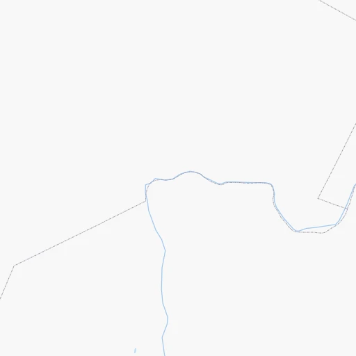
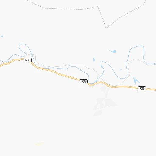
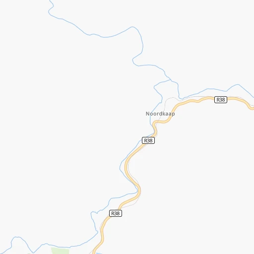
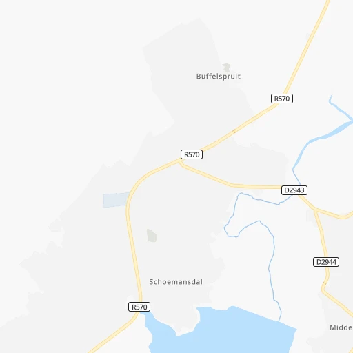
Roadmap (route) to go from Louw’s Creek to Botshabelo detailed above, you can also see the course layout on the map.
While doing trip Louw’s Creek - Botshabelo by car, the calculated route ends at a distance , or more straight.
Distance and duration of the route between Louw’s Creek and Botshabelo
Calculation of distance and route from Botshabelo to Louw’s Creek :
604.1739.5 km11h12mn
Continue 0h0mn 169 mTurn sharp right onto R38 1h33mn 36.1 kmTurn right onto R38, R40 0h6mn 6.9 kmTurn left onto R38 1h56mn 62.6 kmTurn left onto Barnard Street 0h0mn 24 mTurn right onto Barnard Street 0h0mn 233 mTurn left 1h31mn 36.1 kmTurn right onto R33 0h0mn 107 mTurn left 0h13mn 15.7 kmTurn slight right onto N17 0h29mn 34.3 kmTurn left onto N17 0h7mn 7.7 kmTurn left onto Kerk Street 0h1mn 750 mTurn right onto Joubert Street 0h1mn 1.4 kmTurn left onto Joubert Street 1h21mn 86.8 kmTurn left onto Berg Street 0h1mn 406 mTurn right onto Stander Street 0h0mn 351 mTurn left onto Caledon Street 0h1mn 1.0 kmTurn right onto Von Backstrom Street 0h0mn 172 mTurn left onto Church Street 0h1mn 506 mTurn right onto Schwickard Street 0h0mn 52 mTurn left onto Church Street 0h1mn 992 mTurn right onto Handel Street 0h0mn 110 mTurn left onto Beyers Naude Street 0h0mn 182 mKeep left and drive toward Dr. Nelson Mandela Drive 0h1mn 2.1 kmTurn right onto George Street 1h56mn 56.3 kmContinue onto R34 0h12mn 13.6 kmTurn left onto R103 1h41mn 40.5 kmKeep left 0h1mn 1.2 kmContinue onto N3 0h4mn 5.2 kmKeep left and take R714 toward Bethlehem 0h0mn 483 mTurn right onto R714 1h17mn 77.1 kmTurn slight left onto Hospital Road 0h5mn 4.3 kmTurn right onto Eufees Street 0h1mn 1.2 kmTurn left onto Commissioner Street 2h28mn 163.2 kmContinue onto N8 1h49mn 73.2 kmTurn left 0h7mn 5.6 kmContinue 0h2mn 798 mTurn left 0h0mn 60 mTurn right 0h1mn 520 mTurn left onto Sipho Saliwe Street 0h2mn 1.0 kmTurn right 0h1mn 364 mArrive at destination 0h0mn 0 m
Travel from Louw’s Creek (Orange Free State) to a selection of major cities.
Distances from Louw’s Creek to biggest cities in Mpumalanga
Other major cities in country :
- Richards Bay [02], 252,968 inhabitants. 358 km
- Vanderbijlpark [06], 246,754 inhabitants. 365 km
- Centurion [06], 233,386 inhabitants. 312 km
- Uitenhage [05], 228,912 inhabitants. 1,068 km
- Roodepoort [06], 225,000 inhabitants. 347 km
- Paarl [11], 190,000 inhabitants. 1,491 km
- Springs [06], 186,394 inhabitants. 297 km
- Carletonville [06], 182,304 inhabitants. 398 km
- Klerksdorp [10], 178,921 inhabitants. 481 km
- Midrand [06], 173,009 inhabitants. 319 km
- Westonaria [06], 156,831 inhabitants. 372 km
- Vryheid [02], 150,012 inhabitants. 242 km
- Orkney [10], 145,801 inhabitants. 484 km
- Kimberley [08], 142,089 inhabitants. 732 km
- Nigel [06], 140,644 inhabitants. 295 km
- Mpumalanga [02], 140,121 inhabitants. 469 km
- Bhisho [05], 137,287 inhabitants. 885 km
- Randfontein [06], 133,654 inhabitants. 364 km
- Worcester [11], 127,597 inhabitants. 1,450 km
- Rustenburg [10], 124,064 inhabitants. 406 km
Route from Botshabelo to major cities (South Africa).
- Distance Botshabelo Cape Town942 km
- Distance Botshabelo Durban422 km
- Distance Botshabelo Johannesburg365 km
- Distance Botshabelo Soweto352 km
- Distance Botshabelo Pretoria418 km
- Distance Botshabelo Port Elizabeth533 km
- Distance Botshabelo Pietermaritzburg358 km
- Distance Botshabelo Benoni377 km
- Distance Botshabelo Tembisa393 km
- Distance Botshabelo East London432 km
- Distance Botshabelo Vereeniging312 km
- Distance Botshabelo Boksburg372 km
- Distance Botshabelo Newcastle356 km
- Distance Botshabelo Krugersdorp369 km
- Distance Botshabelo Diepsloot392 km
- Distance Botshabelo Randburg375 km
- Distance Botshabelo Brakpan374 km
- Distance Botshabelo Witbank452 km
- Distance Botshabelo Richards Bay520 km
- Distance Botshabelo Vanderbijlpark305 km
Nearest cities to Louw’s Creek :
- Benoni, 605,344 inhabitants. 304 km
- Newcastle, 404,838 inhabitants. 272 km
- Brakpan, 305,692 inhabitants. 300 km
- Witbank, 262,491 inhabitants. 208 km
- Springs, 186,394 inhabitants. 297 km
- Middelburg, 154,706 inhabitants. 184 km
- Vryheid, 150,012 inhabitants. 242 km
- eMbalenhle, 141,741 inhabitants. 244 km
- Nigel, 140,644 inhabitants. 295 km
- Polokwane, 123,749 inhabitants. 267 km
- Nelspruit, 110,159 inhabitants. 37 km
- Phalaborwa, 109,468 inhabitants. 190 km
- Bethal, 101,919 inhabitants. 204 km
- Mokopane, 101,090 inhabitants. 281 km
- Delmas, 92,046 inhabitants. 267 km
- Louis Trichardt, 86,854 inhabitants. 322 km
- Dundee, 84,413 inhabitants. 300 km
- Piet Retief, 84,349 inhabitants. 159 km
- Phuthaditjhaba, 84,258 inhabitants. 404 km
- Bethlehem, 83,654 inhabitants. 413 km
- Standerton, 74,021 inhabitants. 250 km
- Barberton, 67,927 inhabitants. 29 km
- Heidelberg, 64,199 inhabitants. 309 km
- Balfour, 46,008 inhabitants. 293 km
- Mondlo, 44,922 inhabitants. 267 km
- Thohoyandou, 44,046 inhabitants. 311 km
- Volksrust, 43,378 inhabitants. 238 km
- Ermelo, 41,124 inhabitants. 164 km
- Ekangala, 37,650 inhabitants. 255 km
- Giyani, 37,024 inhabitants. 267 km
- Harrismith, 35,108 inhabitants. 363 km
- Lebowakgomo, 33,308 inhabitants. 242 km
- Nkowakowa, 30,138 inhabitants. 220 km
- Driefontein, 28,127 inhabitants. 175 km
- Bronkhorstspruit, 27,343 inhabitants. 256 km
- Siyabuswa, 26,236 inhabitants. 234 km
- Cullinan, 25,490 inhabitants. 278 km
- Duiwelskloof, 24,572 inhabitants. 246 km
- Lydenburg, 21,695 inhabitants. 105 km
- Ulundi, 20,753 inhabitants. 300 km
- Modimolle, 20,527 inhabitants. 310 km
- Komatipoort, 20,508 inhabitants. 70 km
- Secunda, 20,418 inhabitants. 235 km
- Tzaneen, 16,954 inhabitants. 231 km
- Reitz, 16,637 inhabitants. 373 km
- White River, 15,954 inhabitants. 44 km
- Hendrina, 15,871 inhabitants. 168 km
- Kriel, 15,055 inhabitants. 219 km
- Vrede, 14,622 inhabitants. 290 km
- Ekuvukeni, 14,331 inhabitants. 334 km
Location Louw’s Creek (Mpumalanga) :
| Country flag |  |
| Location | Louw’s Creek |
| State | Mpumalanga |
| County | Ehlanzeni District |
| Country | South Africa |
| Country code / ISO 2 | ZA |
| Latitude | -25.6404700 |
| Longitude | 31.2916600 |
| Altitude | 0 meters |
| Time zone | Africa/Johannesburg |
Location Botshabelo (Orange Free State) :
| Country flag | |
| Location | Botshabelo |
| State | Orange Free State |
| County | Mangaung Metropolitan Municipality |
| Country | South Africa |
| Country code / ISO 2 | ZA |
| Latitude | -29.2673700 |
| Longitude | 26.7259500 |
| Altitude | 0 meters |
| Time zone | Africa/Johannesburg |