
How to get from Lesko Łukawica (Subcarpathian Voivodeship) to Przeworsk (Subcarpathian Voivodeship)
Calculate route from Lesko Łukawica (Subcarpathian Voivodeship, Poland) to Przeworsk (Subcarpathian Voivodeship, Poland).
The flight distance (as the crow flies) between Lesko Łukawica and Przeworsk is 62.6 km.
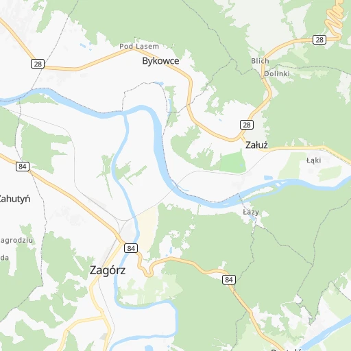
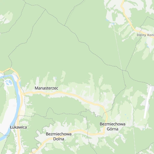
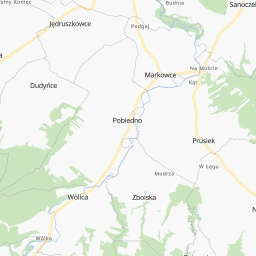
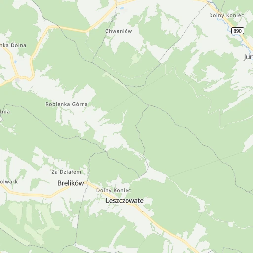
Roadmap (route) to go from Lesko Łukawica to Przeworsk detailed above, you can also see the course layout on the map.
While doing trip Lesko Łukawica - Przeworsk by car, the calculated route ends at a distance , or more straight.
Distance and duration of the route between Lesko Łukawica and Przeworsk
Calculation of distance and route from Przeworsk to Lesko Łukawica :
62.682.6 km2h56mn
Continue 0h1mn 401 mTurn sharp right 0h2mn 2.0 kmTurn right 0h0mn 258 mTurn left 0h0mn 91 mKeep right 0h9mn 2.4 kmKeep left 0h4mn 1.1 kmTurn sharp right 0h0mn 42 mTurn left onto Monasterska Droga 0h10mn 3.1 kmTurn right 0h2mn 905 mTurn right onto 28 0h20mn 19.8 kmTurn left onto Majora Kusiaka 1h31mn 25.7 kmTurn left 0h1mn 473 mKeep right 0h5mn 2.5 kmTurn left 0h8mn 6.3 kmKeep left 0h1mn 263 mKeep left 0h3mn 1.7 kmTurn left 0h1mn 570 mTurn right onto 835 0h15mn 13.3 kmAt roundabout, take exit 1 onto Węgierska 0h2mn 1.7 kmMake a U-turn onto Tysiąclecia 0h0mn 63 mArrive at destination 0h0mn 0 m
Travel from Lesko Łukawica (Subcarpathian Voivodeship) to a selection of major cities.
Distances from Lesko Łukawica to biggest cities in Subcarpathian Voivodeship
Other major cities in country :
- Bytom [83], 189,186 inhabitants. 261 km
- Praga Poludnie [78], 187,845 inhabitants. 317 km
- Bielsko-Biala [83], 176,515 inhabitants. 240 km
- Olsztyn [85], 171,803 inhabitants. 493 km
- Ursynow [78], 147,676 inhabitants. 308 km
- Ruda Slaska [83], 146,189 inhabitants. 263 km
- Wola [78], 143,996 inhabitants. 319 km
- Rybnik [83], 142,510 inhabitants. 280 km
- Bielany [78], 134,854 inhabitants. 325 km
- Srodmiescie [78], 134,306 inhabitants. 317 km
- Dabrowa Gornicza [83], 130,601 inhabitants. 240 km
- Tychy [83], 130,000 inhabitants. 252 km
- Opole [79], 127,676 inhabitants. 341 km
- Elblag [85], 127,558 inhabitants. 555 km
- Plock [78], 127,474 inhabitants. 385 km
- Walbrzych [72], 127,431 inhabitants. 454 km
- Gorzow Wielkopolski [76], 124,430 inhabitants. 613 km
- Targowek [78], 124,316 inhabitants. 323 km
- Wloclawek [73], 120,339 inhabitants. 418 km
- Zielona Gora [76], 118,433 inhabitants. 552 km
Route from Przeworsk to major cities (Poland).
- Distance Przeworsk Warsaw263 km
- Distance Przeworsk Lodz285 km
- Distance Przeworsk Krakow183 km
- Distance Przeworsk Wroclaw403 km
- Distance Przeworsk Poznan467 km
- Distance Przeworsk Gdansk545 km
- Distance Przeworsk Szczecin663 km
- Distance Przeworsk Bydgoszcz461 km
- Distance Przeworsk Lublin133 km
- Distance Przeworsk Katowice248 km
- Distance Przeworsk Bialystok345 km
- Distance Przeworsk Gdynia565 km
- Distance Przeworsk Czestochowa253 km
- Distance Przeworsk Sosnowiec243 km
- Distance Przeworsk Radom177 km
- Distance Przeworsk Mokotow259 km
- Distance Przeworsk Torun425 km
- Distance Przeworsk Kielce160 km
- Distance Przeworsk Gliwice273 km
- Distance Przeworsk Zabrze266 km
Nearest cities to Lesko Łukawica :
- Warsaw, 1,702,139 inhabitants. 317 km
- Lodz, 768,755 inhabitants. 323 km
- Krakow, 755,050 inhabitants. 183 km
- Lublin, 360,044 inhabitants. 195 km
- Radom, 226,794 inhabitants. 227 km
- Mokotow, 212,670 inhabitants. 313 km
- Kielce, 208,598 inhabitants. 195 km
- Praga Poludnie, 187,845 inhabitants. 317 km
- Rzeszow, 158,382 inhabitants. 64 km
- Ursynow, 147,676 inhabitants. 308 km
- Wola, 143,996 inhabitants. 319 km
- Bielany, 134,854 inhabitants. 325 km
- Srodmiescie, 134,306 inhabitants. 317 km
- Targowek, 124,316 inhabitants. 323 km
- Tarnow, 117,799 inhabitants. 112 km
- Bemowo, 102,393 inhabitants. 322 km
- Praga Polnoc, 93,192 inhabitants. 319 km
- Ochota, 93,192 inhabitants. 317 km
- Bialoleka, 89,324 inhabitants. 328 km
- Nowy Sacz, 84,376 inhabitants. 119 km
- Piotrkow Trybunalski, 80,128 inhabitants. 282 km
- Siedlce, 77,185 inhabitants. 296 km
- Ostrowiec Swietokrzyski, 73,989 inhabitants. 172 km
- Pabianice, 70,542 inhabitants. 320 km
- Chelm, 68,043 inhabitants. 199 km
- Tomaszow Mazowiecki, 67,197 inhabitants. 279 km
- Przemysl, 67,013 inhabitants. 44 km
- Stalowa Wola, 66,495 inhabitants. 122 km
- Zamosc, 66,034 inhabitants. 151 km
- Belchatow, 62,896 inhabitants. 296 km
- Wawer, 62,656 inhabitants. 310 km
- Mielec, 60,993 inhabitants. 109 km
- Zgierz, 58,036 inhabitants. 333 km
- Biala Podlaska, 57,541 inhabitants. 287 km
- Pruszkow, 55,371 inhabitants. 315 km
- Starachowice, 53,739 inhabitants. 193 km
- Zawiercie, 53,159 inhabitants. 236 km
- Zoliborz, 50,934 inhabitants. 322 km
- Legionowo, 50,786 inhabitants. 337 km
- Tarnobrzeg, 50,459 inhabitants. 128 km
- Pulawy, 49,759 inhabitants. 214 km
- Skarzysko-Kamienna, 49,410 inhabitants. 207 km
- Radomsko, 49,175 inhabitants. 269 km
- Skierniewice, 49,042 inhabitants. 313 km
- Kutno, 48,323 inhabitants. 368 km
- Krosno, 47,784 inhabitants. 46 km
- Debica, 47,366 inhabitants. 90 km
- Ursus, 47,285 inhabitants. 316 km
- Otwock, 43,388 inhabitants. 299 km
- Zyrardow, 41,179 inhabitants. 313 km
Location Lesko Łukawica (Subcarpathian Voivodeship) :
| Country flag |  |
| Location | Lesko Łukawica |
| State | Subcarpathian Voivodeship |
| County | Powiat leski |
| Country | Poland |
| Country code / ISO 2 | PL |
| Latitude | 49.5052300 |
| Longitude | 22.3353400 |
| Altitude | 0 meters |
| Time zone | Europe/Warsaw |
Location Przeworsk (Subcarpathian Voivodeship) :
| Country flag | |
| Location | Przeworsk |
| State | Subcarpathian Voivodeship |
| County | Powiat przeworski |
| Country | Poland |
| Country code / ISO 2 | PL |
| Latitude | 50.0591200 |
| Longitude | 22.4940800 |
| Altitude | 0 meters |
| Time zone | Europe/Warsaw |