
How to get from Wad at Turābī (Al Jazīrah) to An Nuhūd (West Kordofan State)
Calculate route from Wad at Turābī (Al Jazīrah, Sudan) to An Nuhūd (West Kordofan State, Sudan).
The flight distance (as the crow flies) between Wad at Turābī and An Nuhūd is 564.9 km.
Roadmap (route) to go from Wad at Turābī to An Nuhūd detailed above, you can also see the course layout on the map.
While doing trip Wad at Turābī - An Nuhūd by car, the calculated route ends at a distance , or more straight.
Distance and duration of the route between Wad at Turābī and An Nuhūd
Calculation of distance and route from An Nuhūd to Wad at Turābī :
564.9704.7 km11h52mn
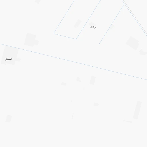
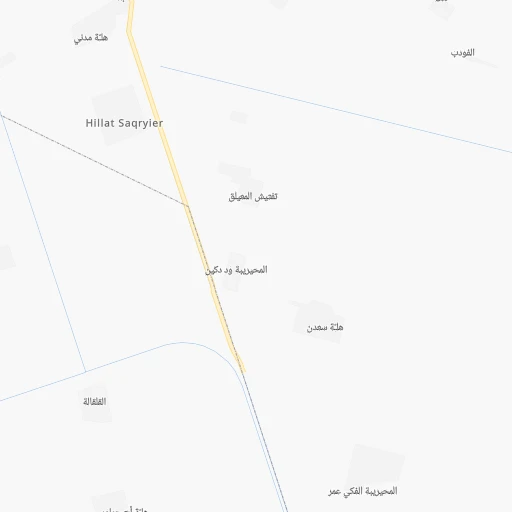
Continue 0h2mn 753 mTurn right onto المعيلق-ألتي 1h40mn 19.8 kmKeep left 0h3mn 1.5 kmTurn left onto شارع الخرطوم - مدني 1h36mn 42.5 kmTurn slight right onto Khartoum-Wad Madani Road 0h11mn 12.4 kmKeep right onto Wad Medani Highway 0h2mn 2.1 kmKeep left 0h0mn 423 mKeep right 0h0mn 270 mKeep left 0h6mn 5.0 kmAt roundabout, take exit 3 onto شارع افريقيا 0h0mn 562 mTurn left onto شارع الجيش 0h6mn 7.2 kmAt roundabout, take exit 2 onto شارع المهندسين جنوب 0h2mn 2.0 kmAt roundabout, take exit 3 onto شارع ليبيا 0h2mn 2.5 kmTurn slight right 0h1mn 1.7 kmTurn left 0h8mn 9.1 kmTurn right 6h51mn 386.3 kmTurn right 0h3mn 2.9 kmTurn right 0h0mn 220 mTurn left 0h5mn 5.6 kmContinue onto شارع الابيض - النهود 3h53mn 201.9 kmTurn right 0h0mn 143 mTurn left 0h0mn 37 mArrive at destination 0h0mn 0 m
Travel from Wad at Turābī (West Kordofan State) to a selection of major cities.
Distances from Wad at Turābī to biggest cities in Al Jazīrah
Other major cities in country :
Route from An Nuhūd to major cities (Sudan).
- Distance An Nuhūd Khartoum545 km
- Distance An Nuhūd Omdurman546 km
- Distance An Nuhūd Nyala393 km
- Distance An Nuhūd Port Sudan1,214 km
- Distance An Nuhūd Kassala913 km
- Distance An Nuhūd El Obeid201 km
- Distance An Nuhūd Al Qadarif767 km
- Distance An Nuhūd Kosti462 km
- Distance An Nuhūd Wad Medani582 km
- Distance An Nuhūd El Daein287 km
- Distance An Nuhūd El Fasher350 km
- Distance An Nuhūd Singa599 km
- Distance An Nuhūd Ad-Damazin653 km
- Distance An Nuhūd Geneina654 km
- Distance An Nuhūd Rabak470 km
- Distance An Nuhūd Sinnar565 km
- Distance An Nuhūd Al Manaqil522 km
- Distance An Nuhūd Gereida392 km
- Distance An Nuhūd Atbara816 km
- Distance An Nuhūd Ed Damer807 km
Nearest cities to Wad at Turābī :
- Khartoum, 1,974,647 inhabitants. 75 km
- Omdurman, 1,200,000 inhabitants. 86 km
- El Obeid, 393,311 inhabitants. 373 km
- Al Qadarif, 363,945 inhabitants. 278 km
- Kosti, 345,068 inhabitants. 220 km
- Wad Medani, 332,714 inhabitants. 93 km
- Singa, 250,000 inhabitants. 237 km
- Rabak, 135,281 inhabitants. 216 km
- Sinnar, 130,122 inhabitants. 179 km
- Al Manaqil, 128,297 inhabitants. 95 km
- Atbara, 107,930 inhabitants. 306 km
- Ed Damer, 103,941 inhabitants. 295 km
- Ad Douiem, 87,068 inhabitants. 146 km
- Umm Ruwaba, 55,742 inhabitants. 314 km
- Shendi, 53,568 inhabitants. 182 km
- As Suki, 33,524 inhabitants. 218 km
- Al Hasaheisa, 28,735 inhabitants. 47 km
- Maiurno, 28,727 inhabitants. 199 km
- Tandalti, 27,275 inhabitants. 265 km
- Ar Rahad, 26,273 inhabitants. 371 km
- Kinana, 26,233 inhabitants. 119 km
- Al Hawatah, 24,513 inhabitants. 254 km
- Berber, 22,395 inhabitants. 340 km
- Doka, 19,821 inhabitants. 342 km
- Al Qitena, 18,321 inhabitants. 78 km
- Al Hilaliyya, 17,345 inhabitants. 27 km
- Barah, 16,969 inhabitants. 329 km
- Ad Dindar, 15,144 inhabitants. 243 km
- Marabba, 12,108 inhabitants. 320 km
- Ad Dabbah, 11,626 inhabitants. 398 km
- El Matama, 11,366 inhabitants. 182 km
- Wad Rawah, 10,348 inhabitants. 12 km
- Al Kawa, 10,167 inhabitants. 162 km
- Al Kiremit al `Arakiyyin, 9,775 inhabitants. 85 km
- Jalqani, 9,472 inhabitants. 321 km
- Al Masallamiyya, 9,373 inhabitants. 66 km
- Wad az Zaki, 9,271 inhabitants. 115 km
- Um Jar Al Gharbiyya, 9,038 inhabitants. 160 km
Location Wad at Turābī (Al Jazīrah) :
| Country flag |  |
| Location | Wad at Turābī |
| State | Al Jazīrah |
| County | |
| Country | Sudan |
| Country code / ISO 2 | SD |
| Latitude | 15.1000000 |
| Longitude | 33.0500000 |
| Altitude | 0 meters |
| Time zone | Africa/Khartoum |
Location An Nuhūd (West Kordofan State) :
| Country flag | |
| Location | An Nuhūd |
| State | West Kordofan State |
| County | |
| Country | Sudan |
| Country code / ISO 2 | SD |
| Latitude | 12.7000000 |
| Longitude | 28.4333300 |
| Altitude | 0 meters |
| Time zone | Africa/Khartoum |