

How to get from Trzebieńczyce (Lesser Poland Voivodeship) to Kęty (Lesser Poland Voivodeship)
Calculate route from Trzebieńczyce (Lesser Poland Voivodeship, Poland) to Kęty (Lesser Poland Voivodeship, Poland).
The flight distance (as the crow flies) between Trzebieńczyce and Kęty is 19.7 km.
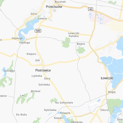
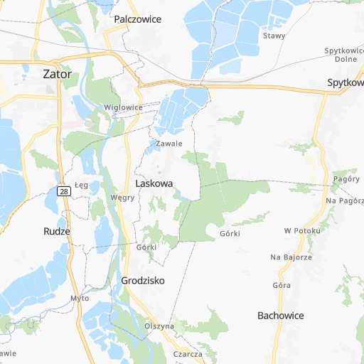
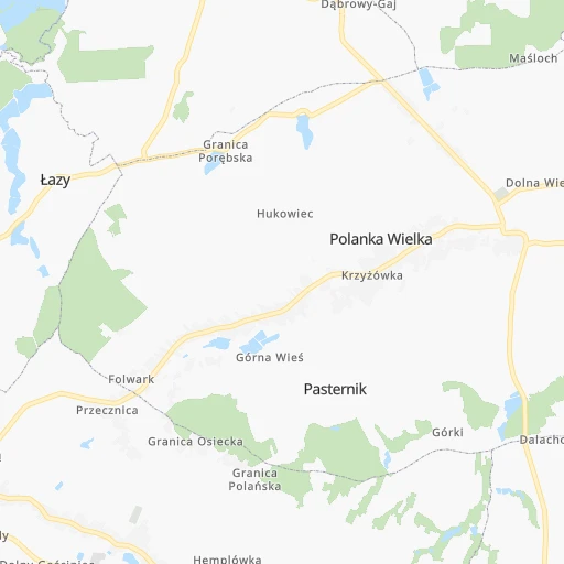
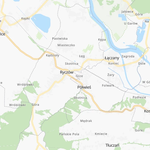
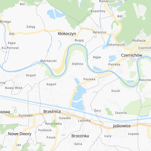
Roadmap (route) to go from Trzebieńczyce to Kęty detailed above, you can also see the course layout on the map.
While doing trip Trzebieńczyce - Kęty by car, the calculated route ends at a distance , or more straight.
Distance and duration of the route between Trzebieńczyce and Kęty
Calculation of distance and route from Kęty to Trzebieńczyce :
19.725.8 km1h31mn
Continue 0h2mn 705 mTurn right onto gen. Milana-Kamskiego 0h2mn 1.4 kmTurn right onto Myto 0h2mn 1.1 kmTurn right onto Wadowicka 0h0mn 254 mTurn left onto Srebrna 0h3mn 2.4 kmTurn left onto Andrychowska 0h4mn 4.0 kmTurn right onto Świętego Marcina 0h0mn 261 mKeep left onto Świętego Marcina 0h3mn 3.7 kmKeep left onto Olszynowa 0h1mn 707 mTurn slight left onto Świętego Szymona 0h2mn 2.1 kmTurn right onto Świętego Jana Pawła II 0h9mn 7.6 kmTurn right onto Wszystkich Świętych 0h1mn 620 mTurn left onto Szczepana 0h0mn 120 mAt roundabout, take exit 1 onto Krakowska 0h1mn 555 mTurn left onto Tadeusza Kościuszki 0h0mn 155 mTurn left onto Marii Konopnickiej 0h0mn 64 mArrive at destination 0h0mn 0 m
Travel from Trzebieńczyce (Lesser Poland Voivodeship) to a selection of major cities.
Distances from Trzebieńczyce to biggest cities in Lesser Poland Voivodeship
Other major cities in country :
- Praga Poludnie [78], 187,845 inhabitants. 276 km
- Bielsko-Biala [83], 176,515 inhabitants. 34 km
- Olsztyn [85], 171,803 inhabitants. 429 km
- Rzeszow [80], 158,382 inhabitants. 182 km
- Ursynow [78], 147,676 inhabitants. 266 km
- Ruda Slaska [83], 146,189 inhabitants. 52 km
- Wola [78], 143,996 inhabitants. 273 km
- Rybnik [83], 142,510 inhabitants. 66 km
- Bielany [78], 134,854 inhabitants. 277 km
- Srodmiescie [78], 134,306 inhabitants. 273 km
- Dabrowa Gornicza [83], 130,601 inhabitants. 40 km
- Tychy [83], 130,000 inhabitants. 39 km
- Opole [79], 127,676 inhabitants. 133 km
- Elblag [85], 127,558 inhabitants. 464 km
- Plock [78], 127,474 inhabitants. 286 km
- Walbrzych [72], 127,431 inhabitants. 241 km
- Gorzow Wielkopolski [76], 124,430 inhabitants. 424 km
- Targowek [78], 124,316 inhabitants. 280 km
- Wloclawek [73], 120,339 inhabitants. 298 km
- Zielona Gora [76], 118,433 inhabitants. 352 km
Route from Kęty to major cities (Poland).
- Distance Kęty Warsaw290 km
- Distance Kęty Lodz211 km
- Distance Kęty Wroclaw206 km
- Distance Kęty Poznan323 km
- Distance Kęty Gdansk499 km
- Distance Kęty Szczecin510 km
- Distance Kęty Bydgoszcz371 km
- Distance Kęty Lublin281 km
- Distance Kęty Katowice44 km
- Distance Kęty Bialystok453 km
- Distance Kęty Gdynia518 km
- Distance Kęty Czestochowa102 km
- Distance Kęty Sosnowiec46 km
- Distance Kęty Radom217 km
- Distance Kęty Mokotow287 km
- Distance Kęty Torun351 km
- Distance Kęty Kielce148 km
- Distance Kęty Gliwice61 km
- Distance Kęty Zabrze58 km
- Distance Kęty Bytom56 km
Nearest cities to Trzebieńczyce :
- Warsaw, 1,702,139 inhabitants. 273 km
- Lodz, 768,755 inhabitants. 199 km
- Krakow, 755,050 inhabitants. 36 km
- Wroclaw, 634,893 inhabitants. 211 km
- Poznan, 570,352 inhabitants. 322 km
- Katowice, 317,316 inhabitants. 43 km
- Czestochowa, 248,125 inhabitants. 93 km
- Sosnowiec, 227,295 inhabitants. 42 km
- Radom, 226,794 inhabitants. 198 km
- Mokotow, 212,670 inhabitants. 270 km
- Kielce, 208,598 inhabitants. 129 km
- Gliwice, 198,835 inhabitants. 65 km
- Zabrze, 192,177 inhabitants. 61 km
- Bytom, 189,186 inhabitants. 55 km
- Praga Poludnie, 187,845 inhabitants. 276 km
- Bielsko-Biala, 176,515 inhabitants. 34 km
- Rzeszow, 158,382 inhabitants. 182 km
- Ursynow, 147,676 inhabitants. 266 km
- Ruda Slaska, 146,189 inhabitants. 52 km
- Wola, 143,996 inhabitants. 273 km
- Rybnik, 142,510 inhabitants. 66 km
- Bielany, 134,854 inhabitants. 277 km
- Srodmiescie, 134,306 inhabitants. 273 km
- Dabrowa Gornicza, 130,601 inhabitants. 40 km
- Tychy, 130,000 inhabitants. 39 km
- Opole, 127,676 inhabitants. 133 km
- Plock, 127,474 inhabitants. 286 km
- Targowek, 124,316 inhabitants. 280 km
- Wloclawek, 120,339 inhabitants. 298 km
- Tarnow, 117,799 inhabitants. 110 km
- Chorzow, 113,430 inhabitants. 49 km
- Kalisz, 108,759 inhabitants. 220 km
- Bemowo, 102,393 inhabitants. 273 km
- Jaworzno, 96,541 inhabitants. 28 km
- Jastrzebie Zdroj, 95,813 inhabitants. 63 km
- Praga Polnoc, 93,192 inhabitants. 276 km
- Ochota, 93,192 inhabitants. 271 km
- Bialoleka, 89,324 inhabitants. 281 km
- Nowy Sacz, 84,376 inhabitants. 98 km
- Konin, 81,258 inhabitants. 263 km
- Piotrkow Trybunalski, 80,128 inhabitants. 159 km
- Inowroclaw, 77,597 inhabitants. 324 km
- Siedlce, 77,185 inhabitants. 314 km
- Myslowice, 75,281 inhabitants. 32 km
- Ostrowiec Swietokrzyski, 73,989 inhabitants. 173 km
- Siemianowice Slaskie, 73,121 inhabitants. 49 km
- Ostrow Wielkopolski, 72,898 inhabitants. 219 km
- Pabianice, 70,542 inhabitants. 187 km
- Gniezno, 70,269 inhabitants. 312 km
- Tomaszow Mazowiecki, 67,197 inhabitants. 177 km
Location Trzebieńczyce (Lesser Poland Voivodeship) :
| Country flag |  |
| Location | Trzebieńczyce |
| State | Lesser Poland Voivodeship |
| County | Powiat oświęcimski |
| Country | Poland |
| Country code / ISO 2 | PL |
| Latitude | 49.9833300 |
| Longitude | 19.4500000 |
| Altitude | 0 meters |
| Time zone | Europe/Warsaw |
Location Kęty (Lesser Poland Voivodeship) :
| Country flag | |
| Location | Kęty |
| State | Lesser Poland Voivodeship |
| County | Powiat oświęcimski |
| Country | Poland |
| Country code / ISO 2 | PL |
| Latitude | 49.8821400 |
| Longitude | 19.2233300 |
| Altitude | 0 meters |
| Time zone | Europe/Warsaw |


